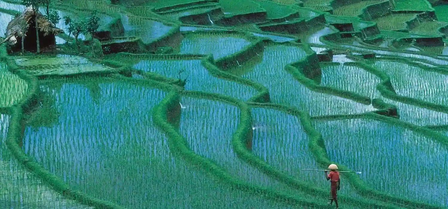
The agricultural sector plays a vital role in achieving the second Sustainable Development Goal: “Zero Hunger”. To ensure food security, agriculture must remain resilient and productive. In Indonesia, a major rice-producing country, the conversion of agricultural land for non-agricultural uses poses a serious threat to food availability. Accurate and timely mapping of paddy rice is therefore crucial. This study proposes a phenology-based mapping approach using a Convolutional Neural Network-Random Forest (CNN-RF) Hybrid model with multi-temporal Sentinel-2 and Landsat-8 imagery. Image processing and analysis were conducted using the Google Earth Engine platform. Raw spectral bands and four vegetation indices—NDVI, EVI, LSWI, and RGVI—were extracted as input features for classification. The CNN-RF Hybrid classifier demonstrated strong performance, achieving an overall accuracy of 0.950 and a Cohen’s Kappa coefficient of 0.893. These results confirm the effectiveness of the proposed method for mapping paddy rice in Indramayu Regency, West Java, using medium-resolution optical remote sensing data. The integration of phenological characteristics and deep learning significantly enhances classification accuracy. This research supports efforts to monitor and preserve paddy rice cultivation areas amid increasing land use pressures, contributing to national food security and sustainable agricultural practices.
Read the full publication: https://doi.org/10.3390/computers14080336